Top 5 Navigation Systems for Modern Boats: Find the Right Fit for Your Vessel
Choosing the right navigation system can be the difference between a confident passage and a stressful one. Today's marine electronics have evolved well beyond basic GPS receivers — the best units combine chartplotting, sonar integration, AIS, and radar compatibility into a single multifunction display that talks to every other device on your NMEA 2000 network. But more capability also means more choices, and not every system suits every vessel.
This guide cuts through the noise. Whether you run a center-console fishing boat, a bluewater sailboat, or a weekend runabout, there's a navigation system built for your specific use case. Here are the top five, plus the criteria that actually matter when you're shopping.
What to Look for in a Marine Navigation System
The right marine navigation system balances screen readability, chart compatibility, connectivity, and durability for your specific boating environment. Prioritizing the wrong feature — say, a large display on a small console — creates more problems than it solves.
Start with screen size and sunlight readability. A display rated at 1,200 nits or higher stays legible in direct sunlight, which matters enormously offshore. A 9-inch screen is the practical minimum for offshore use; 12–16 inches suits larger helms where you're managing multiple data overlays simultaneously.
Next, consider chart compatibility. Most systems support Navionics or C-MAP charts, but licensing models differ — some units include a regional chart subscription, others require annual fees that can run $150–$300 per year. Check what's bundled before comparing sticker prices.
- NMEA 2000 connectivity: Allows the chartplotter to share data with VHF radios, autopilots, engine monitors, and AIS transponders across a single backbone network.
- IPX waterproofing rating: Look for IPX6 or IPX7 minimum — IPX7 means the unit survives temporary immersion, not just spray.
- Transducer compatibility: If you want fishfinder integration, confirm the unit supports your preferred sonar frequency (CHIRP, DownScan, SideScan).
- Waypoints and route planning: Higher-end units store 10,000+ waypoints and support complex multi-leg routes with tidal current data.
One commonly overlooked factor: processor speed. A sluggish unit that lags when panning charts or switching between radar and sonar overlays is genuinely dangerous at speed. Read user reviews specifically for responsiveness, not just feature lists.
Navigation System #1 – Best Overall Multifunction Display
The best overall MFD for modern boats is a large-screen, fully integrated chartplotter that supports radar, sonar, AIS, and NMEA 2000 networking without requiring a separate "black box" for each function.
Garmin's GPSMAP series (particularly the 12-inch and 16-inch variants) has held the flagship position for several years running. The combination of a high-brightness IPS touchscreen, built-in CHIRP sonar, and seamless BlueChart g3 chart integration makes it the benchmark other manufacturers measure against. The unit connects directly to a NMEA 2000 backbone, pulling engine data, wind instruments, and AIS targets into a single configurable dashboard.
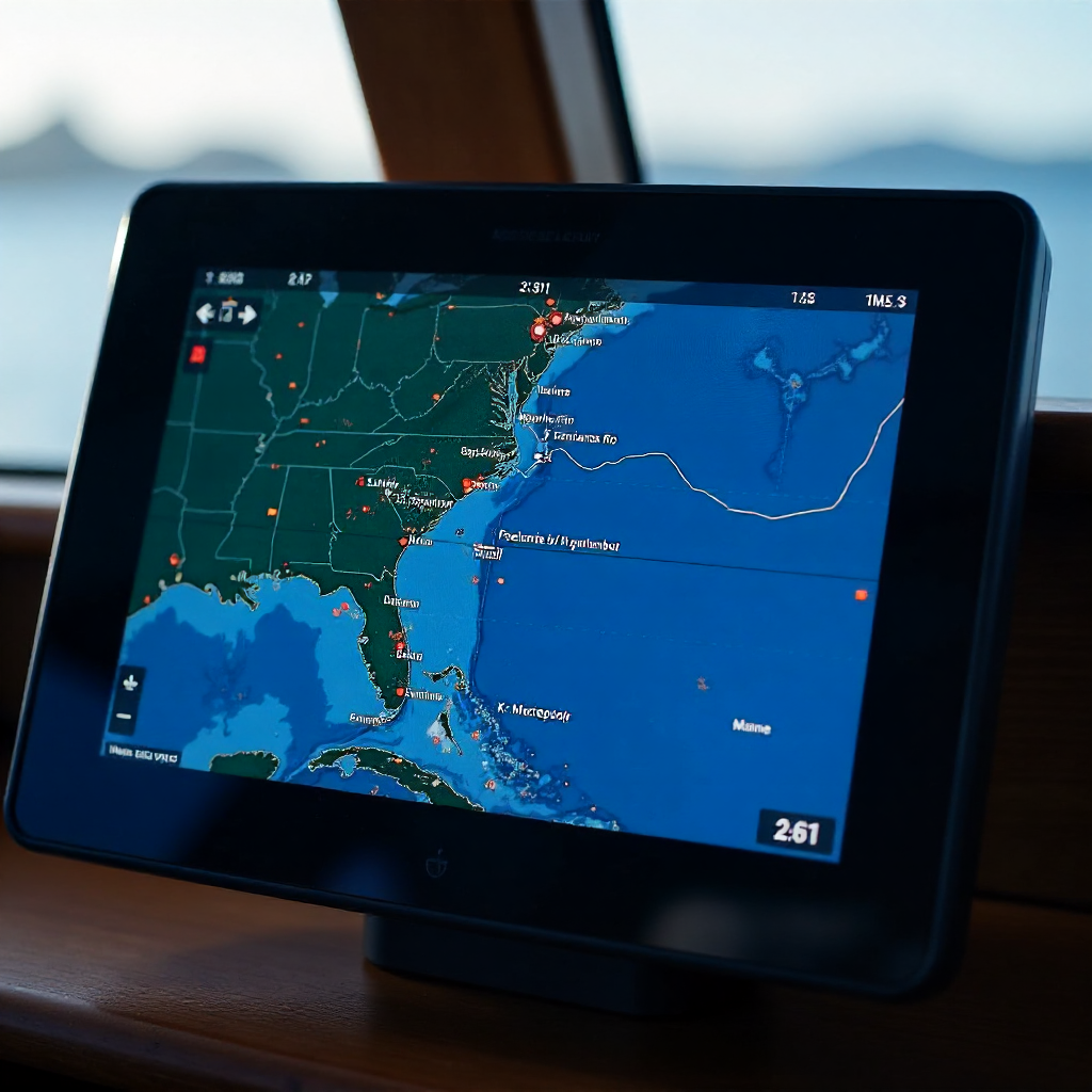
What separates a true flagship MFD from a mid-range unit is radar compatibility. The best systems support both open-array and dome radars, and they render radar overlay on the chart in real time — essential for night passages and restricted visibility. Garmin's Fantom radar series, Furuno's DRS radar, and Raymarine's Quantum 2 all integrate cleanly with their respective MFD ecosystems.
Trade-off worth knowing: flagship MFDs typically run $1,500–$3,000 for the display alone, before radar, transducer, or installation costs. For a small day boat, that's overkill. But for a vessel doing overnight passages or operating in busy commercial waterways, the investment pays for itself in situational awareness.
Navigation System #2 – Best for Recreational Day Boaters
For casual coastal or lake boating, a mid-range 7- to 9-inch chartplotter with preloaded regional charts and simple touchscreen operation is the practical sweet spot — capable enough to be genuinely useful, simple enough to learn in an afternoon.
Lowrance's HDS Live series and Garmin's ECHOMAP UHD2 both hit this target well. The ECHOMAP UHD2 9-inch, for instance, comes with preloaded LakeVü g3 or BlueChart g3 charts depending on your region, has a bright sunlight-readable display, and pairs easily with a transducer for basic depth and fishfinding. It connects to a NMEA 2000 network if you want to expand later, but works fine as a standalone unit right out of the box.
Day boaters often underestimate how much ease of interface matters. A system that requires three menu layers to mark a waypoint will go unused. The best recreational units let you drop a waypoint with a single tap and build a simple route in under a minute. That's not a trivial feature — it's the difference between a tool you actually use and one that stays on the default screen.
These units typically land in the $400–$800 range, making them accessible without compromising on GPS accuracy or chart quality.
Navigation System #3 – Best for Offshore and Bluewater Sailing
Offshore and bluewater sailing demands a navigation system built around redundancy, AIS integration, and advanced route planning — not just a bright screen. The stakes are higher, and the environment is less forgiving.
Raymarine's Axiom Pro and Furuno's GP-1871F are the two systems most frequently recommended by offshore sailors and delivery skippers. Both offer integrated AIS receivers that display nearby vessel traffic directly on the chart, which is critical in shipping lanes. The Furuno unit, in particular, has a reputation for exceptional GPS receiver sensitivity in high-latitude and high-sea-state conditions where cheaper units lose signal lock.
For bluewater passages, route planning depth matters more than it does inshore. Look for a system that handles complex waypoint sequences with bearing and distance calculations, integrates with weather routing software via GRIB file import, and supports MOB (man overboard) functions that immediately lock onto a position and guide you back. Some units also integrate with satellite communication systems for offshore weather updates.
Redundancy is the offshore sailor's insurance policy. Running two independent navigation systems — or at minimum, a standalone backup GPS receiver — is standard practice on any serious offshore passage. The best MFDs support this by allowing a secondary display to mirror the primary unit over the NMEA 2000 network.
Navigation System #4 – Best Budget-Friendly Option
A reliable budget navigation system delivers accurate GPS positioning and basic charting for under $300 — a realistic target that several manufacturers now hit without cutting corners on the features that matter most.
Garmin's Striker series and Lowrance's Hook Reveal line both compete strongly at this price point. The Lowrance Hook Reveal 5, for example, includes a built-in GPS, preloaded C-MAP Contour+ charts, and a CHIRP sonar/fishfinder in a single unit for around $200–$250. It lacks NMEA 2000 connectivity and radar compatibility, but for a small aluminum fishing boat or a pontoon on a lake, those omissions rarely matter.
The honest limitation of budget units: screen brightness is usually the first casualty of cost-cutting. Many sub-$300 displays struggle in direct afternoon sun. Positioning the unit under a bimini or in a shaded console location partially offsets this, but it's worth reading brightness specifications (look for 800 nits minimum) before buying.
Budget systems also tend to store fewer waypoints (typically 1,000–3,000 versus 10,000+ on premium units) and offer less chart detail in shallow coastal areas. For inland and near-coastal use, neither limitation is a real-world problem. For anyone pushing into unfamiliar coastal waters, consider stepping up to the mid-range tier.
Navigation System #5 – Best for Fishing Boats
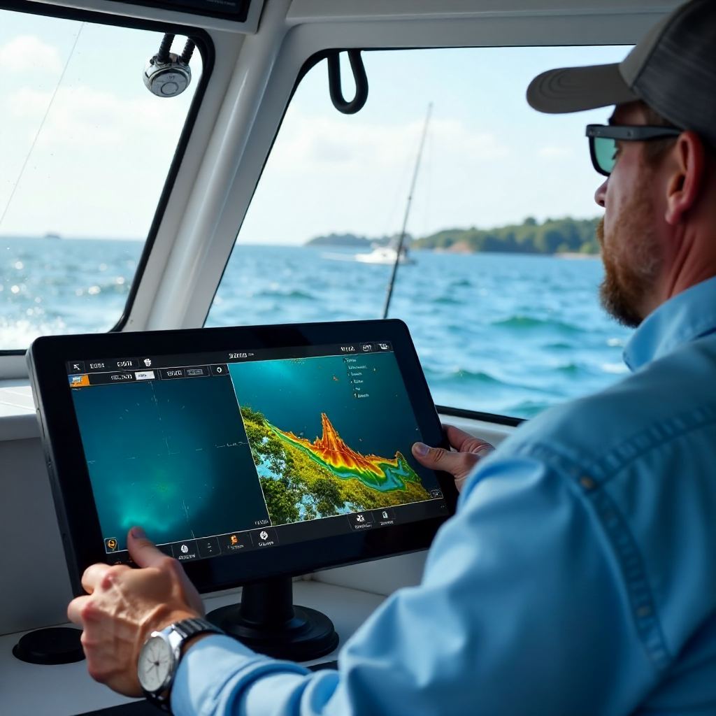
The best navigation system for fishing boats combines a full-featured chartplotter with high-resolution sonar and fishfinder capability in a single unit — because anglers need to see the bottom structure and their position on the chart simultaneously.
Humminbird's HELIX and SOLIX series are purpose-built for this use case. The SOLIX 12 CHIRP MEGA SI+ G3N, for instance, pairs a 12-inch touchscreen chartplotter with MEGA Side Imaging+, Down Imaging+, and CHIRP sonar — all processed through a single transducer that mounts on the transom. The chart and sonar views can run side by side, so you can watch baitfish suspended over a structure while simultaneously tracking your drift relative to a waypoint.
Lowrance's HDS Pro series competes directly here, with the added advantage of Active Target 2 live sonar compatibility — a technology that shows fish movement in real time rather than just a static bottom return. For serious tournament anglers, that real-time sonar data is worth the premium.
One practical note: fishing units accumulate a lot of waypoints fast — favorite spots, structure coordinates, trolling routes. A system that stores at least 5,000 waypoints with custom icons and notes is worth prioritizing. Some anglers log hundreds of spots per season, and running out of storage mid-trip is a genuine frustration.
How to Choose and Install the Right Navigation System for Your Boat
Matching a navigation system to your boat comes down to three variables: vessel size, primary use case, and your existing onboard electronics. Get those three right, and the specific brand matters less than you'd think.
For boat size, a rough guide: vessels under 22 feet do well with a 7–9 inch display; 22–32 feet typically suit a 9–12 inch unit; larger vessels benefit from 12 inches or more, often with a second display at a secondary helm station. Oversizing a display on a small console creates glare problems and can obstruct sight lines.
For use case alignment, revisit the profiles above honestly. A recreational day boater who occasionally fishes doesn't need a $2,500 flagship MFD — but an offshore sailor who cuts corners on AIS integration is taking an unnecessary risk. Match the system's strengths to what you actually do on the water, not what you might do someday.
On the installation side, a few practical points:
- If your boat already has a NMEA 2000 network, verify the new chartplotter is certified NMEA 2000 compatible before purchasing — most modern units are, but older budget models sometimes use proprietary protocols.
- Transducer placement matters as much as transducer quality. A high-end CHIRP transducer mounted in a turbulent water flow zone will underperform a mid-range unit mounted cleanly on the keel centerline.
- GPS receiver antenna placement affects signal quality. Flush-mounting the antenna inside a fiberglass console is fine; mounting it near metal structures or under a metal T-top degrades accuracy.
- For any system above $600, professional installation is worth considering — not because the wiring is complex, but because proper cable routing and waterproofing at connectors significantly extends the unit's service life in a marine environment.
The U.S. Coast Guard Navigation Center provides updated guidance on AIS requirements and GPS signal reliability that's worth reviewing before finalizing your system choice, particularly if you operate in U.S. coastal waters.
Frequently Asked Questions
What is the difference between a chartplotter and a GPS unit?
A GPS receiver determines your position using satellite signals. A chartplotter displays that position on a navigational chart and adds tools for waypoints, route planning, and overlaying additional data like AIS targets or radar returns. Most modern marine navigation systems combine both functions in a single unit, but the GPS receiver is the positioning engine and the chartplotter is the interface built around it.
Do I need an AIS receiver integrated into my navigation system?
If you operate in commercial shipping lanes, harbor approaches, or offshore waters, AIS integration is strongly recommended. AIS (Automatic Identification System) displays nearby vessel traffic with their name, speed, heading, and closest point of approach directly on your chart. A receive-only AIS unit costs $150–$300 as a standalone device; many mid-range and premium MFDs now include it built in. For coastal day boating on uncrowded lakes or rivers, it's optional but still useful.
Can I connect a navigation system to my boat's existing NMEA 2000 network?
Yes, provided the chartplotter is NMEA 2000 certified. Most units made in the last five years support the standard. Once connected to the backbone, the MFD can share GPS data with autopilots, display engine data from compatible ECUs, receive wind and depth data from instruments, and pull AIS targets from a connected transponder — all without separate wiring runs between devices.
How important is screen size for a marine navigation display?
Screen size directly affects how much information you can read at a glance, especially when running split-screen views of charts and sonar simultaneously. For a single-purpose chartplotter on a small boat, 7 inches is workable. For a helm where you're managing radar overlays, AIS targets, and sonar at the same time, 12 inches or larger becomes genuinely useful rather than just impressive. Prioritize brightness (nits) alongside physical size — a 9-inch display at 1,400 nits outperforms a 12-inch display at 600 nits in direct sunlight.
What charts or map subscriptions do marine navigation systems typically require?
Most units ship with a base chart preloaded, but detailed nautical charts — including depth contours, marina data, and tidal information — typically require a subscription or one-time purchase. The two dominant platforms are Navionics (now owned by Garmin) and C-MAP (owned by Lowrance/Humminbird parent Brunswick). Annual subscriptions run approximately $30–$150 depending on coverage region. Some premium units include a one-year subscription in the purchase price; check the fine print before comparing prices across brands.